Pix4D
Pix4D Fields
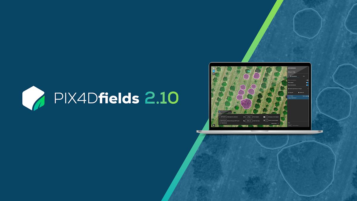
Pix4Dfields, available at Agdrone, is a specialized drone mapping software designed for precision agriculture, offering advanced tools for crop analysis and field management. Unlike DJI Terra, Pix4Dfields supports a wide range of drones and multispectral cameras, including DJI’s Phantom 4 Multispectral, Mavic 3 Multispectral, and non-DJI platforms like Parrot or senseFly. Its robust photogrammetry engine processes aerial imagery into high-accuracy 2D orthomosaics, NDVI maps, thermal outputs, and custom vegetation indices, making it a versatile choice for farmers and agronomists seeking detailed insights.
Pix4Dfields stands out for its rapid processing, generating maps in minutes, and its ability to create targeted operation maps for spot spraying and variable rate applications. The software’s Magic Tool detects crop anomalies, such as weed infestations or nutrient deficiencies, enabling precise interventions when integrated with DJI AGRAS drones or tractors. Its sub-centimeter accuracy and support for ground control points ensure survey-grade results, ideal for large-scale farms or research applications. Pix4Dfields also allows users to calculate custom vegetation indices, offering flexibility for specialized crop monitoring.
What's In The Box
- 1x Pix4D Desktop Licence (Choose Option)
About this product

GET PRICING
Request Request a Quote
Tell us a bit about your operation and we'll get back to you with a tailored quote — usually within one business day.